


| Availability: | In stock (1) |
| Delivery time: | 1-3 days |
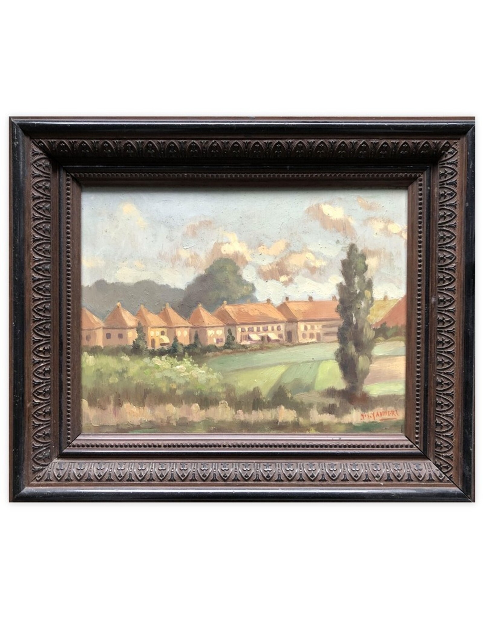
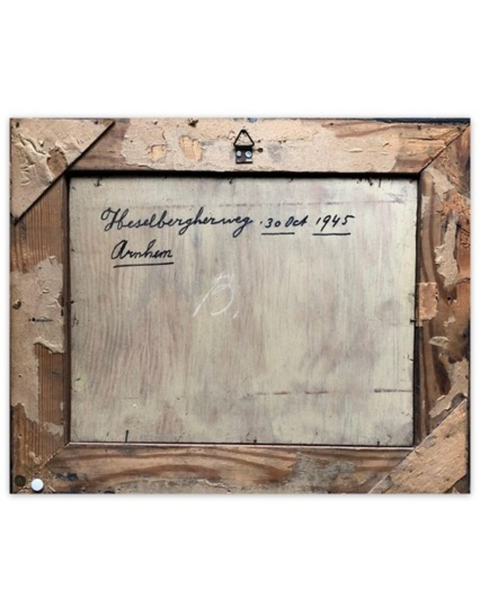
Jos Sanders - Heselbergherweg [Paint on panel - Signed] - [Arnhem] - 30 Oct 1945 - Original work in wooden frame - 37 x 31 cm.
Condition: Good.
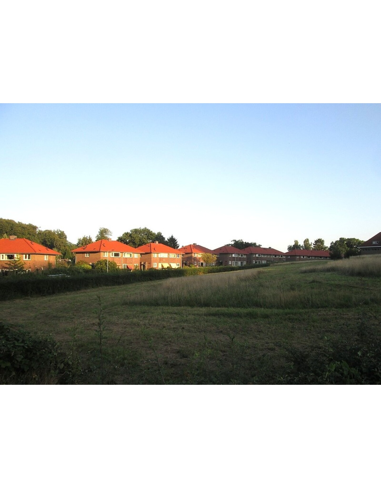
Painting (28 x 21.5 cm) depicting a view of the typical 1920s Amsterdam School houses on Heselbergherweg (located between Cattepoelseweg and Dalweg) in Arnhem, just after the Second World War. A unique color image of these monumental buildings, which at the time were already being rented out by the housing association 'De Eenvoud'.
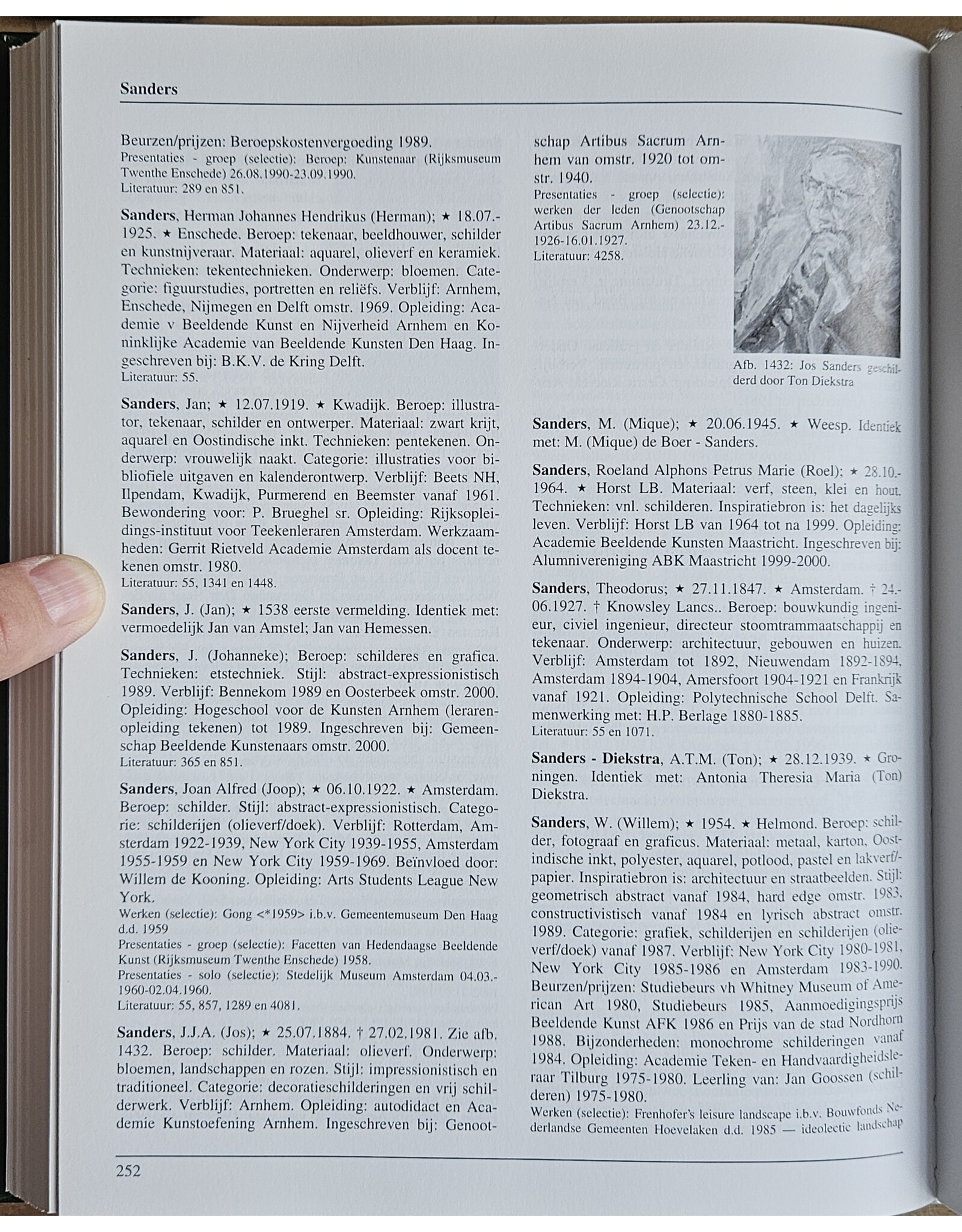
¶ Cf. Jacobs p. 252 (with portrait). Not in Scheen. Arnhem artist Jos Sanders (1884-1981) was self-taught at the Arnhem Academy of Fine Arts and was a member of the artists' association Artibus Sacrum (1869-1949). He primarily painted landscapes and still lifes (flowers and roses). Unfortunately, he became blind later in life.
This particular work was created as a favor to the Baars family, who lived at number 54 at the time. According to the grandson, for whom we are offering this piece, the house (and the entire neighborhood) had been completely emptied by the Germans, all valuables dug up from the garden, and much had been destroyed. The living room had even served as a horse stable.


![[H.W. Mesdag] - Fisherman's scene - [1880]](https://cdn.webshopapp.com/shops/296949/files/323390722/262x276x2/hw-mesdag-fishermans-scene-1880.jpg "[H.W. Mesdag] - Fisherman's scene - [1880]")


![[N.J. van Dalen?] - De Stad Arnhem - [1846]](https://cdn.webshopapp.com/shops/296949/files/459827225/262x276x2/nj-van-dalen-de-stad-arnhem-1846.jpg "[N.J. van Dalen?] - De Stad Arnhem - [1846]")