


| Availability: | In stock (1) |
| Delivery time: | 1-3 days |
Liane van der Linden & Els Schellekens - Volg het spoor. Het koloniale en slavernijverleden in Arnhem - Arnhem - Gemeente Arnhem - 2025 - 1st edition - 104 pp - Paperback - 16,5 x 24 cm.
Condition: Good - COMPLETE with the accompanying separate walking map.
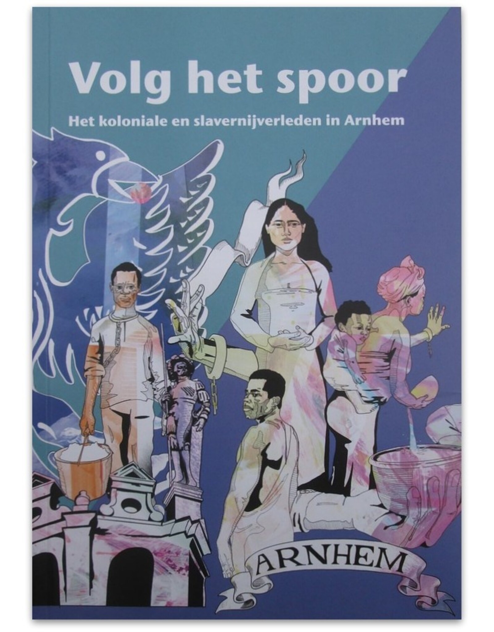
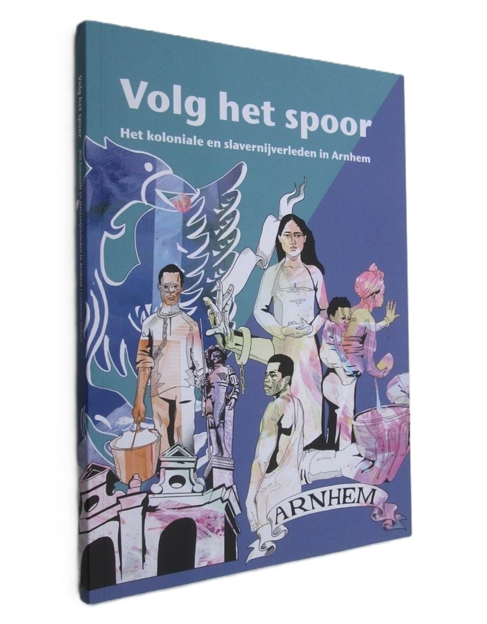
Adapted from 'Sporen van Slavernijverleden in Arnhem' (2024); a study of the Gelderland capital's involvement in slavery from 1600 to the late 19th century. Illustrated with photos and reproductions in COLOUR. Cover: Richard Kofi.
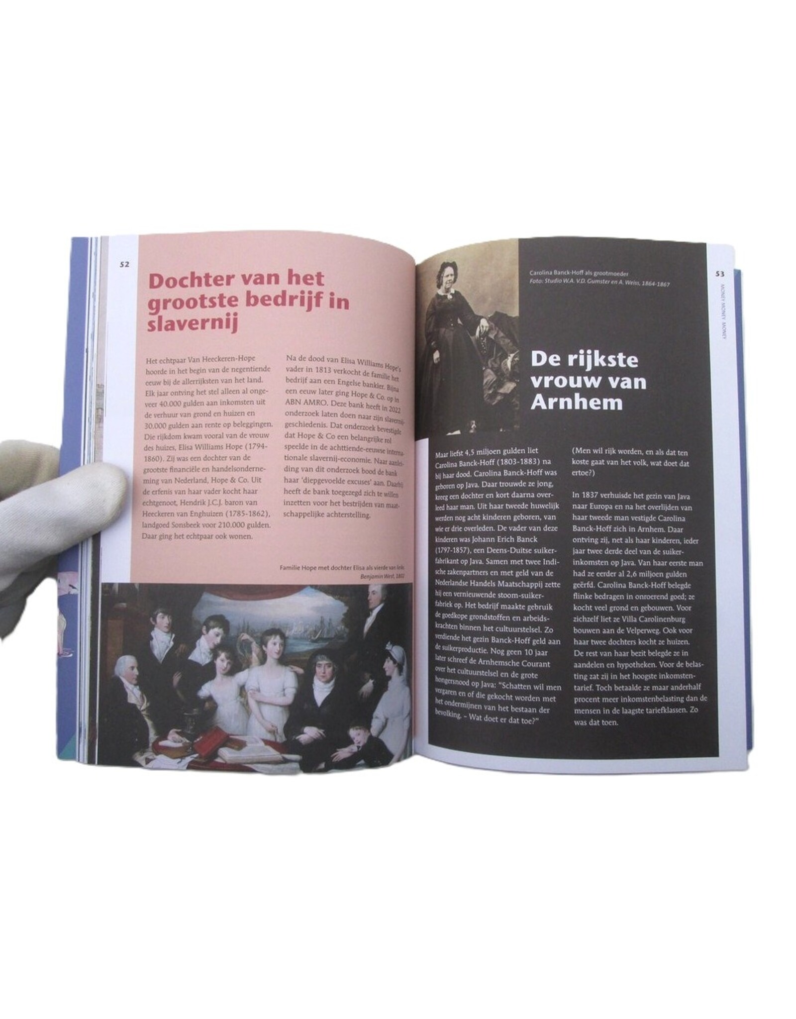
¶ The book deals with i.a. the VOC, Nicasius de Sille, Maurits Ver Huell, Jan Jacob van Braam, Carel van Essen, Adriana van Baijen, Elisa Williams Hope & Hendrik baron van Heeckeren van Enghuizen, Carolina Banck-Hoff, Willem Gerard Brantsen van de Zijp, Huis Zypendaal, Suriname, Keti-Koti and Anna van Vossenburg (1710-1780, free black woman).
![A. Markus - Arnhem [in de] vorige eeuw - 1975](https://cdn.webshopapp.com/shops/296949/files/329053780/262x276x2/a-markus-arnhem-in-de-vorige-eeuw-1975.jpg "A. Markus - Arnhem [in de] vorige eeuw - 1975")


